Madrid (EFE) in much of the territory.
According to the forecasts of the State Meteorological Agency (AEMET), the front will produce rains, generally weak, in Galicia and the Cantabrian area, precipitations that will gradually move towards the east, subsiding on the coasts, but registering showers in the interior and affecting to the Pyrenees, with the opening of clearings in the Galician region.
In eastern areas, an isolated shower or occasional dry storm has not been ruled out, and morning mists or fog banks will be probable in the interior northwest and east and, later, in the mountains of the extreme north, without ruling out high haze in the southeast of the peninsula. Melilla and the Balearic Islands.
In the Canary Islands, low clouds will be recorded in the north of the islands, without ruling out some light rain, with a notable drop in minimum temperatures and trade winds.
Minimum temperatures will drop in the northern third
The minimum temperatures will drop in the interior of the northern third, a drop that will be notable, in the Canary Islands; while the maximums will increase in the Mediterranean area and will decrease in the rest, also notable in the interior Canary Islands as well as, even extraordinary, in the northern center of the peninsula.
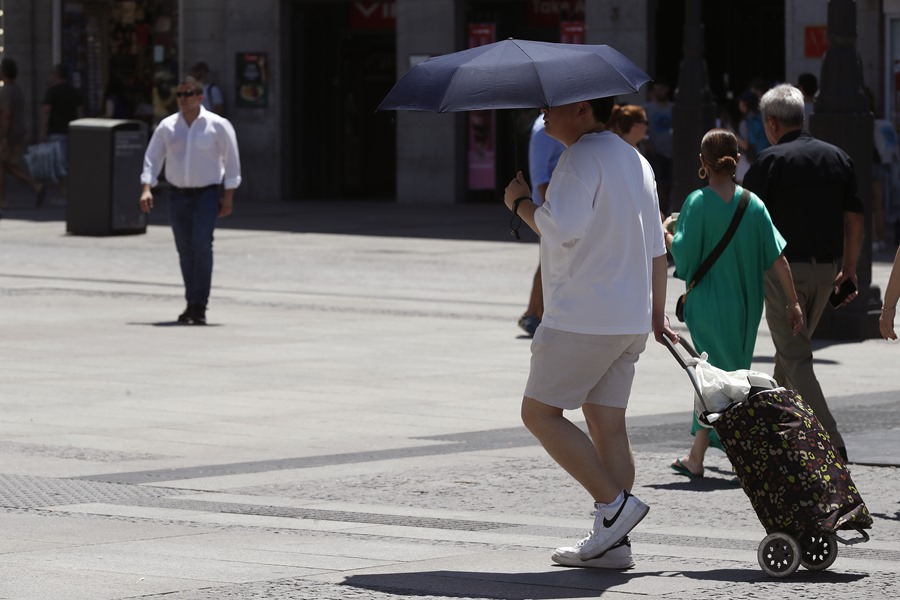
It will exceed 34-36 degrees in the interior of the southeastern half of the peninsula and the minimum will not drop below 24-26 on the Mediterranean coast.
Trade winds will blow in the Canary Islands, with strong intervals and very strong gusts; of a western component in the Peninsula, with strong intervals in the Cantabrian and Straits, except for the Levant and northeast, where they will be of southern and eastern components, as well as in the Balearic Islands, rolling northwest in the Ebro and, with strong intervals, in Empordà.