Santander (EFE)
The territorial delegate of the State Meteorological Agency (Aemet), José Luis Arteche, and the person in charge of Climatology in Cantabria, Juan José Rodríguez, have pointed out, at a press conference, the forecasts for this spring in the region, after a winter which, as they have explained, has been humid and with normal temperatures, although “bordering on” the consideration of warm.
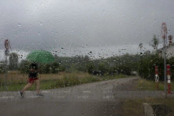
At the moment, Arteche has explained that a storm is taking place, which will bring rain from this Friday afternoon, south wind and precipitation that will be felt with greater intensity tomorrow, Saturday, and that on Sunday it will be limited to the eastern zone .
Anticyclone for next week
Next week, with the arrival of spring on Monday, March 20, an anticyclone will be installed with “very stable” weather that will last until Thursday, World Meteorology Day, when it will rain lightly again with the arrival of a new front, with precipitation and even snow on Sunday in high areas of the mountain range.
In any case, the Aemet delegate has specified that a forecast for that period of almost nine days “must be confirmed because it is a bit far away”, while he did not want to advance an estimate for Easter (from 6 to 9 April), being an even longer period.
For spring, Arteche explained that the seasonal models point to a season in Cantabria with average values that will be between “normal and somewhat warmer” for temperatures and between the “normal and humid” profile for rainfall. “That is, it could even rain a little more than is normal, which is good news,” he assessed.

As for winter in Cantabria, according to the Aemet climate summary, it has been averagely humid and thermally normal, determined by the rainfall in January and the high temperatures in December, with the second sunniest February in the last sixty years.
The last month of last year was the fourth warmest since there are data and very dry, with the maximum winter temperatures at the turn of the year, while Cantabria experienced a cold and very humid January, ending in a normal and very dry, while so far in March it has been dry.
Wet winter, but not much
This winter, temperatures in the region have registered average values within normality, except in inland areas and especially the south where a very warm season has been recorded.
In this way, as highlighted by the person in charge of Climatology, Cantabria accumulates several winters in a row that are warm or normal, but bordering on a warm assessment, like this last one.
Regarding rainfall, and despite the fact that on average it has been humid, Juan José Rodríguez has pointed out that it has been close to normal values, with the rain concentrated, to a large extent, in the second half of January, with a maximum precipitation on day 24 of 100 liters per square meter.
Cantabria has also experienced a slightly windier winter than usual, the result of several “high impact” storms, with more incidence of the east wind, of a dry nature, and with “little presence” of the west wind, coming from the sea, and that brings humidity.
And it has registered a very active January of storms, with 138 lightning discharges, of the 191 that have been recorded in the autonomous community throughout the season.