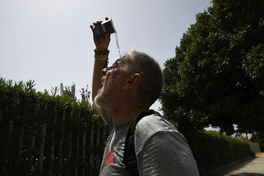
Madrid (EFE) episode of heat next week, which will again shoot the thermometers up to 40 degrees or more.
The arrival of a new mass of warm air from North Africa will leave next week a “marked thermal rise” with thermometers again at very high values, between 5 and 10 degrees above normal for the time of year in large areas. of the country, has advanced Rubén Del Campo, spokesman for the State Meteorological Agency (Aemet).
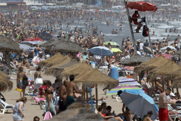
In this way, next Monday and Tuesday it will exceed 36 degrees in many areas of the territory, between 38 or 40 degrees in the center and south of the peninsula and between 40-42 degrees in the Guadalquivir Valley.
However, the Aemet spokesman has qualified, for this Friday, Saturday and Sunday, the highlights, and depending on the days, will be the thermal ascents and decreases, that is, “we have a fluctuation of temperatures ahead of us.”
Today the weather will be stable, although a front will touch the west of Galicia and leave rain in the estuaries; In the rest of the country, little cloudiness with temperatures that drop in the west and south of Andalusia, to rise in the Eastern Cantabrian Sea, where an “extraordinary rise” is expected, determined by the southwest winds that will arrive very overheated.
In the rest of the territory it will also be a “very hot” day, with more than 36 degrees in the center and in the south and between 38 to 40 degrees in the Guadalquivir Valley, Del Campo has detailed.
The weather on Saturday
On Saturday, on the contrary, the wind will turn to the west and a cooler Atlantic air mass will dominate, so the thermometers will drop in practically the entire peninsular territory; The descent will be extraordinary in the Eastern Cantabrian, where it will experience a drop equivalent to the rise of the previous day.
However, these westerly winds will arrive overheated in the Mediterranean area and therefore, in the regions bathed by the sea, temperatures will rise: They will exceed 36 degrees in Aragon, in the interior of Catalonia and the Valencian Community, in Mallorca and in the east of Castilla-La Mancha; In Andalusia, 38 degrees are forecast and up to 40 degrees in the city of Murcia.
weather on sunday
On Sunday the situation will be opposite to that of the previous day with records that will rise almost across the board, except in the Mediterranean regions and the Balearic Islands due to the arrival of wetter and cooler easterly winds in this area; in the Bay of Biscay the environment will be cool with highs of just 22 degrees.
In the Canary Islands, the trade wind regime will predominate over the weekend, which will blow intensely in some points, and temperatures will return to normal, although on Saturday it will still be possible to exceed 32 degrees in the south of Gran Canaria, but nothing to do with the previous days.
weather next week
Next week there will be a general rise in temperatures in the Iberian Peninsula and the Balearic Islands, which will continue on Tuesday in the Mediterranean regions and in the Balearic archipelago: They will be “very hot days” due to the arrival of a new air mass from North Africa and also due to the presence of slightly cloudy skies.
During Monday and Tuesday, temperatures will exceed 40 degrees in the Guadalquivir valley, south of Castilla-La Mancha, Murcia and half of the Ebro, to begin to drop from Wednesday, with significant drops.
The winds will blow from the northeast in the north of the Peninsula and in the Balearic Islands, west in the Strait and Alborán and southwest in the Atlantic slope, with strong intervals in Empordà and western Galicia; In the Canary Islands, the trade winds will get worse, and temperatures will rise until Thursday, to evolve with few changes.