Madrid, Jul 8 (EFE).- Thermometers will reach high values today in the Ebro and Guadalquivir valleys and in Mallorca, on a day in which, in addition, the approach of an Atlantic front will produce rain and showers in the northwest of the peninsula and some light rain in the far north, with risk of storms in the Pyrenees and south of the Iberian system.
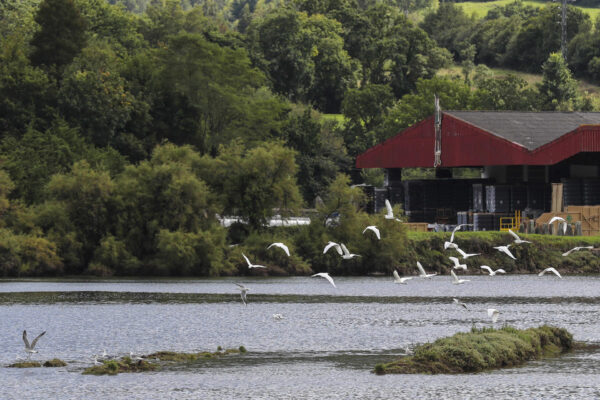
According to the State Meteorological Agency (Aemet), there will be rains and showers in Galicia and Asturias; In the rest, there will be cloudy or clear skies, with the exception of the Levantine coast, the Balearic Islands and some Canary Islands where intervals of low clouds will be recorded.
Daytime temperatures will rise in the eastern peninsular third, Andalusia and the Balearic Islands, and will drop in the northwestern third of the peninsula; without great changes in the rest, as in the night temperatures, which will remain stable.
The winds will blow from the west and southwest component in the western third of the peninsula, from the east component in Aragon and Catalonia, and from the northwest in the Balearic and Canary Islands; in the rest it will be of variable direction.
PREDICTION BY AUTONOMOUS COMMUNITIES
– GALICIA: mists and fog banks in the western third. Cloudy or overcast, opening up large clearings during the morning, especially in the eastern interior, with light rains and showers that will be scattered and less likely in the southeast quadrant, not being ruled out in the eastern third of Ourense and remaining restricted to the coast in the afternoon.
Minimum temperatures rising slightly on the coast, more pronounced in A Mariña and Pontevedra and with few changes in the interior. Highs in descent, which will be light in the western third and Lugo coast. Wind from the south and southwest, weak in the southeast quadrant and with more intense intervals in the rest, turning to the west component and decreasing in intensity. Probable gusts of strong wind at dawn on the north coast.
– ASTURIAS: Probability of mists and fog banks at the end of the day in summits. Cloudy intervals increasing at noon to cloudy or overcast. Light rains and showers that will be less likely and intense in the extreme southwest and that will begin in the west and will also extend to the east at noon.
Minimum temperatures without changes or in slight ascent and maximum in descent. Variable light wind tending to the north component at noon.
– CANTABRIA: Low probability of mists and fog banks at the end of the day in high areas of the south. Slightly cloudy, increasing to cloudy in the western half, with light rains and some showers in the Liébana area and cloudiness extending to the east as the rainfall ceases.
Minimum temperatures with few changes and maximum temperatures in decline, light on the western coast. Variable light wind tending to northeast in central hours, except in the southern third.
– BASQUE COUNTRY: probable mists and fog banks at the beginning and end of the day at high inland levels. Little cloudy, with some high clouds increasing at intervals of evolution clouds in the east, without ruling out showers and storms in Guipúzcoa when the cloudiness spreads to the entire Community.
Minimum temperatures unchanged or slightly rising and maximum temperatures falling in the northern third and rising in the rest. Variable light wind, although on the coast it will blow more intensely from the west in the early hours and will tend to a northerly component in central hours and in the interior.
– CASTILLA Y LEÓN: in the northern third, cloudy intervals, without ruling out some weak precipitation in the Cantabrian Mountains. In the rest, slightly cloudy skies, with intervals of high clouds, and some clouds of scattered evolution.
Temperatures in slight decrease, more marked in the maximum. Wind from the west and southwest, light in general, or more intense during the central hours of the day.
– NAVARRE: mists and fog banks at the end of the day in mountainous areas of the northern half. Slightly cloudy, with cloudy intervals in high areas of the western third where an isolated shower or storm is not ruled out at the end, while the cloudiness extends to the Pyrenees.
Minimum temperatures unchanged or slightly rising, somewhat more pronounced in the northern third, and maximum temperatures falling on the Cantabrian slope and a general increase in the rest. Variable light wind.
– LA RIOJA: slightly cloudy, with intervals of high clouds and some dispersed cloudiness in the mountains. Minimum temperatures with few changes and rising maximums, more pronounced in the Ribera Baja. Wind from the southwest in the mountains and from the southeast in the valley, light in general.
– ARAGÓN: slightly cloudy or clear skies, with some cloudiness of diurnal evolution in the Pyrenees. Minimum temperatures slightly rising in the Pyrenees and the eastern half of Teruel and few changes in the rest; maximums in general ascent, reaching significantly high values in the Ebro valley and neighboring areas.
Light wind from east and south components, with intervals of moderate intensity in the east of the Ebro depression in the last hours.
– CATALONIA: slightly cloudy or clear skies, with some cloudiness of daytime evolution in the Pyrenees during the second half of the day. Minimum temperatures on the rise in the Pyrenees and without changes in the rest; rising highs. Loose northeast wind on the coast during the day; in the rest, variable light wind, tending to a southern component.
– EXTREMADURA: slightly cloudy or clear, with some interval of high clouds in the northern half. Slightly dropping temperatures. West wind, loose.
– COMMUNITY OF MADRID: clear skies. Minimum temperatures in slight decrease in the lowest areas of the Sierra and with little change in the rest; maximum temperatures in decline, which will be milder throughout the Sierra and in the extreme southeast of the Community. Variable light winds that will tend to the southwest during the central hours of the day.
– CASTILLA-LA MANCHA: clear skies, with some interval of evolution clouds in the southeastern mountains in the afternoon, which with little probability could be accompanied by an isolated storm.
Minimum temperatures without significant changes, although they will experience local decreases in the southwestern sierras and in the Montes de Toledo and ascents in the moors of Molina; maximums in descent in the Tagus valley, in ascent the eastern third of the Community and without significant changes in the rest.
Variable light winds that during the central hours of the day will tend to the southwest in La Mancha and in the northwest and southeast quadrants in Albacete.
– VALENCIAN COMMUNITY: little cloudy or clear skies. Minimum temperatures on the rise in the interior of Castellón and on a slight rise or without changes in the rest; generalized rising maxima, locally notable in the interior of Valencia. Loose variable wind, tending to an eastern component.
– REGION OF MURCIA: slightly cloudy or clear skies, without ruling out a slight presence of suspended dust in the south of the region. Rising maximum temperatures inside; and with few changes the rest. Light variable winds, with breezes.
– BALEARIC ISLANDS: little cloudy sky, with intervals of medium and high clouds from the end of the afternoon. Dust in suspension. Temperatures with few changes or a slight rise. Light north and northeast wind, with coastal breezes.
– ANDALUSIA: little cloudy or clear skies, with intervals of low clouds and morning mists in the Strait, coast and countryside of Cádiz. Minimum temperatures without changes or in slight decrease; rising highs. Light variable winds, tending to the west component on the Atlantic slope.
– CANARY ISLANDS: in Lanzarote, Fuerteventura and the north of the rest of the islands, cloudy intervals opening up wide clearings. In the rest of the areas, there is a predominance of slightly cloudy skies. Low probability of scattered and occasional light rains in the northern midlands of the higher relief islands. Little changed temperatures. Northeast wind.