Madrid (EFE) In the northeast, several communities remain on alert today for rains and storms.
Although the State Meteorological Agency (Aemet) had advanced a few days ago that it did not rule out that from Sunday and next week the intensity, extension and duration thresholds necessary to speak of a new heat wave this summer could be exceeded, in these moments -according to the data available- it would be more of a “heat episode”, which will be intense and long-lasting.
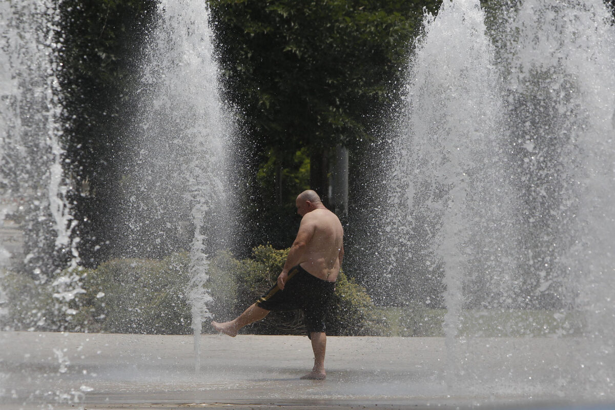
The values may exceed 40 degrees in points in the south of the peninsula with tropical nights in which it would not drop below 25 degrees, according to Aemet.

According to José Luis Camacho, Aemet spokesman, in a statement to the media this Friday, he said that “we will have a significant summer heat weekend” that may be accentuated during the first days of next week; in the north, he has added, the weather will be cool “with some precipitation”.
This Friday they have activated the orange alert for one more day in the north of the country, in the communities of Navarra -with the San Fermín festivities- and Aragón due to a significant risk of rainfall and storms, due to accumulations that could reach 30 liters per meter square in an hour.
At the yellow level (slightly lower than orange) the communities of Castilla y León, the Basque Country and La Rioja are also under warning for rain and storms; Said instability in the middle of July is due to the entry of cold air from the north, which since yesterday has been leaving intense rainfall there, according to Aemet.
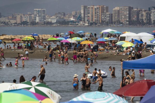
On the other hand, the Balearic Islands are also on yellow alert today, in this case due to rissagas, sea level fluctuations of up to 90 centimeters, and temperatures of up to 36 degrees in Mallorca; In Galicia, the notice will be activated at the end of the day due to maritime storms in A Coruña.
Stable atmosphere on the weekend
Regarding the forecast for the next few days, according to the Aemet spokesman, “we are going to enter a weekend that will be characterized by an atmosphere that will tend to stabilize, although small disturbances will remain in the north and there will be a risk of some shower or light rain”
This will not happen in the southern half, nor in the Balearic Islands, where “we already have the progressive presence of warmer air, and where, above all, the stabilization of the atmosphere will cause the little air renewal to increase temperatures” , has added.
Tomorrow the values will rise to levels of 35 degrees, mainly with a probability of reaching 40º in the valleys of the Guadalquivir.
On Monday and Tuesday “apparently the conditions will not change”, and temperatures may exceed 35 degrees in the interior of the central southern half, Ebro and Mallorca, and 40 degrees in large areas of the Guadalquivir Valley and the interior of the southwest quadrant .
The nighttime minimums will also be high, “with tropical nights” exceeding 25 degrees in some areas.
In the Canary Islands, it is also possible that 35 degrees are exceeded in the midlands without ruling out 40 degrees in the eastern islands.
Civil Protection alert for risk of very high temperatures and fires since Sunday
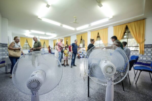
Civil Protection warns of the risk of forest fires and high temperatures in large areas of the country from Sunday and especially next week given the forecast of values that may exceed 42 degrees in areas such as Andalusia, and also tropical nights, occasionally over 25 degrees.
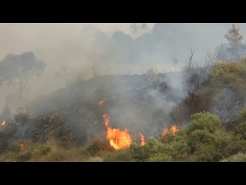
The risk of forest fires will continue “very high or extreme” over the next few days and “all precautions must be taken into account” and notify 112 immediately if a fire is discovered, according to a Civil Protection note.
On Sunday it is likely that 40º will be exceeded locally in the Guadalquivir valley and points in eastern Andalusia and the southern plateau, and 36º in the interior of the Balearic Islands and in the Ebro valley.