
Valencia (EFE)
According to the State Meteorological Agency (Aemet), the storm, of strong or very strong intensity with hail, began to unload this afternoon on the south of Castellón, in the Serra d’Espadà area.
Subsequently, it has moved to the southeast from the l’Alt Millars region, with very heavy rain in Montanejos, with almost 30 millimeters in one hour, of which almost 20 in 10 minutes.
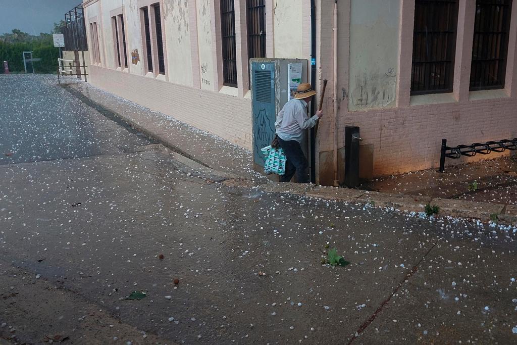
During the course of the storm, there has been a lot of electrical activity in the south of Castellón and north of Valencia and, around 6:00 p.m., the hailstorm has reached the capital of the Region, with large hail, up to the dimensions of a nut, in Valencia and the metropolitan area, according to Aemet.
As a result of the storm, the Valencia airport has reported a horizontal visibility of 1,000 meters and strong winds in the immediate vicinity.
Shortly after 6:00 p.m., in addition, Aemet had issued a bulletin of adverse phenomena that decreed the orange level warning for rain with the possibility of up to 40 millimeters in one hour in the southern interior of Castellón and the northern coast of Valencia.
Likewise, the orange level warning has been decreed for storms, which can be accompanied by hail and very strong gusts, in these same areas, and both alerts will be in force until midnight this Monday.