Hannibal of the Beauty |
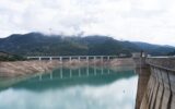
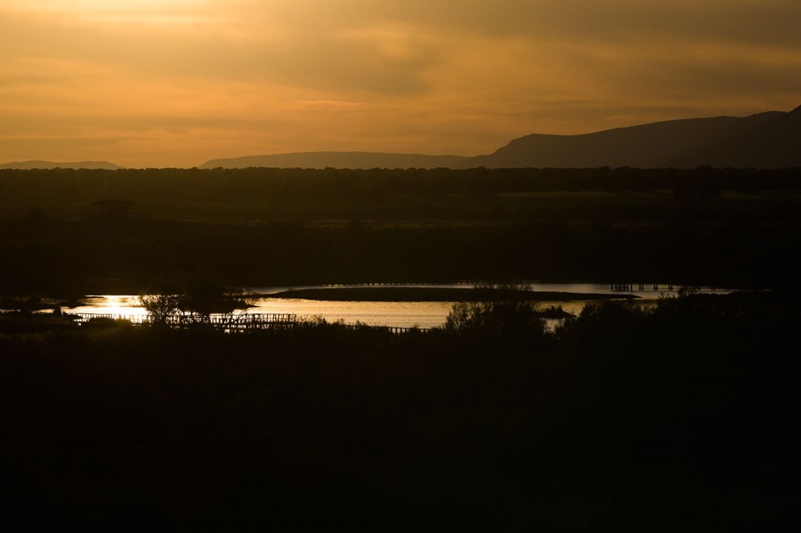
Ciudad Real (EFE).- Aquifer 23, currently divided into the Mancha Occidental I, Mancha Occidental II and Rus-Valdelobos masses, which was to connect the groundwater and surface waters that give rise to the Ojos del Guadiana and the Las Tablas de Daimiel National Park, has suffered a decrease since 2014 of more than 1,000 cubic hectometres.
This was explained to EFE by the head of the Applied Hydrogeology Area of the Geological and Mining Institute of Spain (IGME), Miguel Mejías, who pointed out that the reality today is that these bodies of water have emptied since 2014, the year that recovered again after a particularly humid period between 2009 and 2013, of more than 1,000 cubic hectometres.
“From March 2014 to March 2023, the drop in the water table recorded a few days ago is 11.23 meters, and between March 2022 and March 2023 the average drop is 1.18 meters,” Mejías has calculated.
Approximately in the last six or seven years, Mejías recalled, “the average decrease in the masses of water is of the order of 1 meter per year, which means an annual decrease in the set of water reserves of 125 cubic hectometres each year ”.
The data, Miguel Mejías has indicated, respond to a reality, that it does not rain and that more water is extracted than enters to recharge what is considered one of the great underground reservoirs in Spain.
The IGME data is unquestionable
Miguel Mejías has also responded to the statements of some agricultural organizations or irrigation communities that question the data obtained and studied by the IGME for decades and has ensured that this data “is unquestionable.”
“The IGME has been monitoring groundwater levels throughout the Alto Guadiana since the mid-1970s, which is why we have been measuring for four decades, obtaining data that undoubtedly responds to weather conditions and extractions” , has claimed.
The data, he has pointed out, “are always susceptible to improvement”, but he has ensured that there is enough to know what the reality of these water masses is, supported by a control network such as that of the Guadiana Hydrographic Confederation , with “a wide territorial distribution, which they cannot question, when, furthermore, there are no better data and nobody is capable of saying what is wrong”.
In any case, Mejías has commented that “regardless of the data, there is something that is more than evident, and that is that anyone who lives in the territory realizes that since 2013 there has been a dry climatic sequence and it is It doesn’t rain.”
“We have already had a dry climate sequence for 10 years, with only one wet year that was 2017-2018, and the other years were below average or in a couple of average years. Obviously, if it rains less and we continue to extract the water that is approved for hydraulic administration, evidently it cannot be thought that the groundwater level of the wells will rise”, but that they will go down, he has reflected, and has assured that denying this fact is ” deny reality.
Mejías has asserted that the IGME, the Confederation and all of society would like the reality to be different and to be in a situation like that of 2014 in which the levels of groundwater, surface channels, areas of flooding, but has warned that “reality is what it is”.
Nor can hydraulic planning be questioned
For the IGME, the mathematical flow model ‘Futsal’ that the CHG has and that it uses to determine hydraulic planning cannot be questioned either.
“Like any model, it can be somewhat improved, but the data is good, it is reliable, and the analysis that is made from that model is good enough, so you cannot say that something is bad, simply because it is”, has stated.
For Miguel Mejías, the final conclusion is that if you want to recover the water masses, you have to adapt to the current reality of climate change, something that, as he has recognized, the majority of farmers are beginning to do, who comply with the restrictions that they put
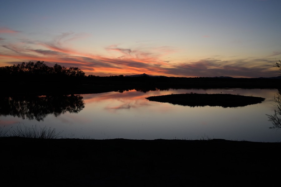
“Failure to do so will mean that groundwater will continue to be emptied, disconnecting it from surface water, which was one of the main characteristics of La Mancha, where the rivers feed naturally, and at the same time they fed Las Tablas de Daimiel, leaving behind yes, a complex and marvelous hydrogeological system”, he concluded.