Madrid, Mar 31 (EFE).- The State Meteorological Agency (Aemet) forecasts for tomorrow, Saturday, a general drop in temperatures, more notable in the northeastern third of the peninsula and in the Balearic Islands, although in the southwest they will not drop.
The Aemet also announces weak frosts in the mountainous systems of the northern third of the peninsula, which may be more intense in the Pyrenees.
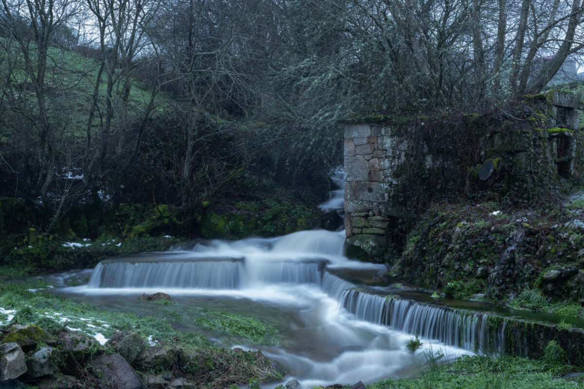
The sky will be cloudy throughout the extreme north, with rainfall in Galicia, the Cantabrian area, the upper Ebro and the Pyrenees, but it will remain clear or with intervals of high clouds in the rest of the Peninsula.
The rains may be persistent in the eastern Cantabrian Sea and in the north of Navarra; while in the rest of the northern half of the peninsula and in the Balearic Islands, weak rainfall is also expected.
In the Canary Islands the sky will be clear, although there will be cloudy intervals in the north of the higher relief islands and the Aemet forecasts haze at the beginning of the day.
The peninsular snow level will be around 1,500 meters in the north, where it will drop to 1,000 meters; although in the center it will be at 2,000 meters, and it will drop to 1,500 meters.
The wind will blow from a northwesterly direction in most of the Peninsula, and will have intervals of strong intensity in the eastern Cantabrian Sea, Ampurdán and southern Catalonia; while in the Canary Islands trade winds from the northeast are expected with some strong intervals.
PREDICTION BY AUTONOMOUS COMMUNITIES
-GALICIA: cloudy sky, although the cloudiness will tend to decrease at the end of the day, except in the northern third and in the mountains; Light rains in general, which will subside in the afternoon. Snow level around 1,500 meters temporarily rising to 1,800. Mists and fog banks at high altitudes in the south. Minimum temperatures in descent, registering at the end of the day, with weak frosts in high mountain levels; maximum in descent in La Mariña and with slight changes in the rest. Wind from the west component, weak in the interior, with more intense intervals in the north of the autonomous community at noon, which will turn north and northwest at the end.
-ASTURIAS: cloudy sky that at the end of the day will tend at intervals on the coast, with light rains throughout the territory that will intensify during the second half of the day, with more probability in the eastern half. Snow level around 1,400-1,600 meters, dropping to 1,000 meters at the end of the day. Mists and fog banks at high altitudes. Declining temperatures, more pronounced in the highs of the southeastern third, and with weak frosts on the peaks. Wind from the west component, light in the interior, turning northwest and increasing on the coast and at high altitudes; there will be very strong gusts in high altitudes of Picos de Europa.
-CANTABRIA: cloudy sky, with light rains that will intensify during the second half of the day. Snow level around 1,400-1,600 meters down to 1,000 meters at the end. Mists and probability of fog banks at high altitudes. Declining temperatures, with weak frosts in the peaks of Liébana. West component wind, weak in the interior and more intense on the coast and in high areas of the eastern half, turning northwest; very strong gusts in high areas of the eastern half.
-BASQUE COUNTRY: cloudy sky with light rainfall that will intensify during the second half of the day in the northern half, without ruling out a storm on the eastern coast, where rainfall is likely to be locally persistent. The snow level will drop at the end of the day to 1,000 meters. Generalized decreasing temperatures, notable in the minimum and maximum of the northern third. Wind from west and northwest directions, weak at first in the interior and more intense on the coast, increasing from the morning, with strong intervals on the coast and very strong gusts at the end of the day in high areas and on the coast.
-CASTILLA Y LEÓN: cloudy tending to cloudy intervals except in the northern third, where it will remain cloudy; weak rainfall in the northeast and extreme north, with a snow level of 1,500 meters that will drop in the last hours to 1,100 in the north. Minimum temperatures in decline, with weak frosts in mountain areas, and maximum temperatures in a lighter decline in the west. West component wind that will turn to north and northwest directions.
-NAVARRA: cloudy sky that will tend at intervals in the south of the Ribera at the end, with widespread weak rainfall that will intensify during the second half of the day in the northern third, probably being persistent on the Cantabrian slope; a storm in the north is not ruled out at the end. Snow level around 1,500 meters down to 1,000 meters. Generalized decreasing temperatures, locally notable in the minimums and maximums of the northern third. Loose wind from the northwest direction that will increase during the central hours, with very strong gusts in high areas of the northwest of the community.
-LA RIOJA: cloudy with a probability of light precipitation, especially in the second half of the day, and with a snow level that will drop to 1,200 meters in the last hours and that will leave light snowfall in Iberia. Declining temperatures, with weak frosts in mountain areas at the end of the day. Northwest direction wind.
-ARAGÓN: predominance of cloudy skies with rainfall in the Pyrenees that will be more abundant in the afternoon, and will likely be dispersed in the rest of the territory from midday. Snow level dropping from 1,600-1,700 meters to 1,000-1,100 in the Pyrenees and up to 1,300-1,400 in the Iberian system. Generalized decreasing temperatures, especially the maximum, with frosts in the Pyrenees, weak in the Iberian system. Moderate northwesterly wind with strong intervals in the afternoon in large areas of the community, and with very strong gusts at high levels of the Pyrenees and the eastern mountains of Teruel.
-CATALONIA: cloudy sky predominates in the Pyrenees and the northeast quadrant, and cloudy intervals in the rest. Rainfall in the western Pyrenees throughout the day, which will be more abundant in the afternoon in the Aran Valley, where it could be locally persistent; in the northeast quadrant occasional showers with thunderstorms are expected in the afternoon; in the rest of the territory there will be scattered rains during the second half of the day. Snow level dropping from 1,600-1,700 meters to 1,000-1,100 in the Pyrenees. Generalized decreasing temperatures, especially the maximum, with frosts in the Pyrenees. In the Ampurdán and high levels of the Pyrenees, wind from a moderate north component, with very strong gusts in the afternoon; In the rest, moderate wind from the west and northwest directions, with very strong gusts in the southern half in the afternoon and some intervals of a southern component on the central coast in the morning.
-EXTREMADURA: predominance of slightly cloudy skies with intervals of high clouds, without ruling out weak precipitation in the north. Temperatures in slight decrease or without changes. Wind from west and northwest directions.
-COMMUNITY OF MADRID: cloudy sky, with decreasing cloudiness during the afternoon to slightly cloudy in the south and cloudy intervals in the north. Probable mists, morning mists and weak rainfall at high levels of the Central system. Snow level at 1,800-2,000 meters, eventually dropping to 1,600. Minimum temperatures without changes or in slight decrease, which will be more pronounced in high places in the Sierra. Maximum temperatures in decline, which will be slight or unchanged in the southwest. Wind from west and northwest directions, weak with more intense intervals in the Sierra and also in the rest during the central hours.
-CASTILLA-LA MANCHA: intervals of medium and high clouds that will soon increase to cloudy in the northeast, extending the cloudiness in the afternoon to the entire community to finally decrease to slightly cloudy or clear. Probably weak rainfall in mountainous areas of the northeast, with a snow level of 1,600-1,800 meters, eventually dropping to 1,400. Minimum temperatures without changes or in slight decrease, which will be more pronounced in mountainous areas of Guadalajara; descending highs that will be light or unchanged in the western half. Wind from west and northwest directions, generally light in the morning and at the end of the day in the western half and that will turn to the north component in Guadalajara at the end.
-VALENCIA COMMUNITY: in the northern third, cloudy skies with scattered precipitations in the northern interior in the last hours, and without discarding in nearby areas; in the rest, cloudy intervals. Declining temperatures, more accentuated for the maximum in coastal areas. In the interior, moderate wind from the west and northwest directions, occasionally strong in the interior of Valencia in the afternoon and with very strong gusts in the north of Castellón at the end of the day; on the coast, sea breezes from noon.
-REGION OF MURCIA: cloudy sky, with medium and high clouds. Minimum temperatures on the rise on the coast and without changes in the rest; descending highs. Wind from the northwest direction, occasionally strong in high areas and turning to the southwest on the coast in the afternoon.
-BALEARIC ISLANDS: cloudy intervals that will tend to subside in the afternoon and at night will leave showers that may be accompanied by storms and strong gusts, especially in Mallorca and Menorca. Falling temperatures, locally notable in the maximum. Variable direction wind, which will turn and increase to the northwest direction with strong intervals.
-ANDALUSIA: sky with cloudy intervals, with cloudiness of diurnal evolution in the interior. Morning mists in the western third, without ruling out mists. Minimum temperatures rising in the western half and with little change in the rest; descending maximums in the eastern half. West component wind, with strong gusts.
-CANARY ISLANDS: clear sky, with some intervals of low clouds to the north of the islands at the end of the day. The haze will affect the upper layers of the western islands, although it will subside. Temperatures in moderate decline, notable in some areas, although it will reach 32 degrees Celsius in areas of the southwest of Gran Canaria. Moderate to strong northeasterly wind.


