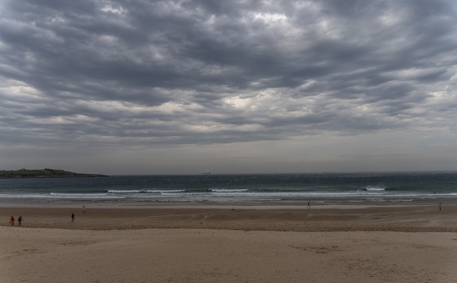
Madrid (EFE).- The State Meteorological Agency (Aemet) foresees an increase in instability for Saturday, with warnings for storms in a large part of the northern half of the peninsula, while in the south the skies will look clear and on the Valencian coast maximum temperatures will drop.
The weekend will begin with slightly cloudy skies in general in the peninsula and the Balearic Islands, except in Galicia where, as it progresses this Friday, weak precipitation and evolving cloudiness are expected in mountainous areas of the eastern third. In the Canary Islands, cloudy intervals in the north of the islands and slightly cloudy skies in the south.
On the other hand, on Saturday instability will increase, with showers and storms in a large part of the northern half, which may be locally strong in the eastern part of the Cantabrian mountain range, the Iberian system and the Pyrenees, according to Aemet spokesman Ricardo Torrijo.

Thus, according to the Aemet website, there are yellow level warnings activated for storms in various areas of Aragon, Cantabria, Castilla y León, Navarra and La Rioja.
The maximum temperatures will drop on the Valencian coast and rise on the Atlantic side of the peninsula, while the minimum will increase slightly in the extreme southeast of the peninsula and will decrease slightly in much of the rest of the peninsula.
“The prediction for Saturday is completed by saying that in a good part of the northern half of the peninsula, cloudy skies with precipitation and some more abundant storms are expected in Galicia, the Cantabrian Sea, the Pyrenees, the Central System and the Iberian System with a certain tendency to move from the west,” according to Torrijo.
In the rest of the peninsula and the Balearic Islands, slightly cloudy skies increasing at cloudy intervals with cloudiness of diurnal evolution, without ruling out weak and isolated showers; and in the Canary Islands, cloudy in the north of the islands, with weak precipitations in those of greater relief, and little cloudy in the south.
There will be winds from the west on the Atlantic and Cantabrian slopes, from the east in Levante and from the southeast in Catalonia and Balares. In the Canary Islands trade winds will blow from the northeast, with some strong intervals.
Less instability on Sunday
On Sunday, the northern third of the peninsula will look cloudy and light rains may be recorded in the Eastern Cantabrian Sea, while in the Pyrenees and inland northwest there are yellow warnings for showers and storms, which could be more intense in western Catalonia .
They will also be probable in Iberia and Teruel and are not ruled out in the Balearic Islands and the southern coast of Catalonia in the early hours, and in areas of the southeastern mountains, where cloudiness of diurnal evolution will form.
Little cloudy or with high clouds in the rest of the peninsular territory, while in the Canary Islands there will be intervals of low clouds in the north of the islands, with a probability of light rains in those of greater relief.
In the Balearic Islands there will be a possibility of dust in suspension that will subside during the day.

The maximums will rise in the eastern third and will fall in the Balearic Islands and in the interior of the eastern half, notably in the Ebro, the Iberian System and the Pyrenees.
The maximum is expected to exceed 30 degrees in the Guadalquivir valley, while the minimum will be dominated by drops in the northern half of the peninsula.
Strong trade winds or with strong intervals in the Canary Islands and from the northeast and north in the Mediterranean area, tending to the Levant in Estrecho and Alborán.
Mercury rises on Monday
A stable and anticyclonic situation is expected for Monday, and during the day skies with few clouds or with high clouds will predominate in the Balearic Islands and the Peninsula.
However, in the extreme north there could be cloudy intervals and evolutionary cloudiness in mountain areas without ruling out some scattered showers. In the Canary Islands, intervals of low clouds are expected in the north.
The maximum temperatures will rise almost universally, except on the southeast coast, where slight drops are expected, according to Torrijo, who has stressed that they will exceed 34-36 degrees in the Guadalquivir valley and points of the Guadiana.