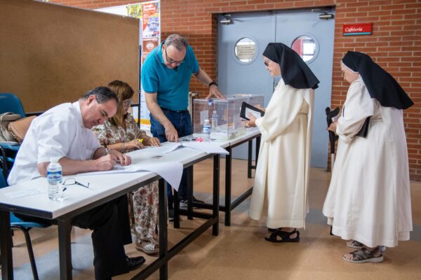
Madrid (EFE).- The weekend will be marked by some isolated storms and heat, especially Sunday election day, when more than 35 degrees are expected in the east, south and center of the country and the Balearic Islands, between 38 and 40 degrees in La Mancha, Extremadura and Andalusia and more than 40 degrees in areas of the Guadalquivir.
Election day will be “hot” in the eastern third of the country, where thermometers will mark values between 5 and 10 degrees higher than normal, explained the spokesman for the State Meteorological Agency (Aemet), Rubén del Campo, who stresses that they are typical values for this time of year, in the heat of heat.
Although this Friday temperatures drop in almost the entire country, more pronounced in the interior of the peninsula and notably in the northeast, a thermal upturn is already expected for Saturday and Sunday, Del Campo has qualified.
By geographical area, 23J will leave a mild atmosphere in the Cantabrian area with highs around 23-28 degrees in Bilbao, Santander or Oviedo; on the northern plateau it will be around 33 degrees in cities like Valladolid and Salamanca, while in the Ebro valley the heat will be more intense, between 37-39 degrees in Logroño and Zaragoza.
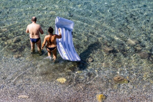
On the Mediterranean coast, a feeling of muggy weather is expected with 30-32 degrees in Barcelona, Valencia or Castellón, and up to 34 degrees in Palma de Mallorca and Almería; In the Guadalquivir valley, eastern Andalusia and in the south of Castilla-La Mancha, the atmosphere, the hottest in the country in the early afternoon, will leave between 39 and 41 degrees in Seville, Córdoba, Granada and Ciudad Real.
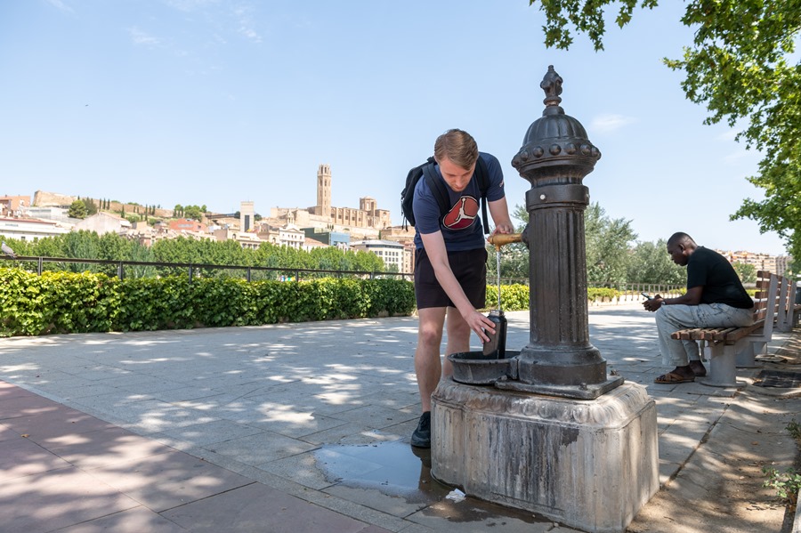
The central peninsular area will also record heat, as confirmed by the 36 degrees forecast for Madrid and up to 38 degrees in Toledo; In the Canary Islands the atmosphere will be milder, leaving 25 degrees in Las Palmas and about 28 degrees in Santa Cruz de Tenerife.
Regarding the rains, only the passage of an Atlantic front will leave clouds in Galicia and Cantabrian communities, with some light rainfall in these areas, while in the east of the peninsula, especially in the afternoon, dry storms will be likely, with little rain, but with very intense gusts of wind.
The first days of next week -the last of July-, the heat will give a truce in most of the country, with temperatures lower than normal for the time, except in the Mediterranean and the Balearic Islands and with hardly any rain, except in the Bay of Biscay.
For Tuesday, “a marked decrease in most of the country” is expected, the spokesman has advanced, who points out that that day will even be a fairly cool day for the season in the north of the peninsula.
The temperatures will be between 5 and 10 degrees below the normal values in the northern third, such as, for example, in Oviedo and Vitoria, where the maximum temperature will barely exceed 20 degrees.
Starting in the second half of the week, temperatures will rise again with heat more typical for the time of year or even “more intense than normal” in parts of the Mediterranean area, Del Campo has advanced.
With regard to rainfall, they are hardly expected, although it will rain a little in the Bay of Biscay with some storms in areas of the north and east of the peninsula and with very strong gusts of wind.
In the Canary Islands, the most notable for next week will be the trade winds, which will blow quite intensely, with even strong or very strong gusts, exceeding 70 km/h and minimums between 21 and 23 degrees and maximums between 25 to 28 degrees in coastal areas.