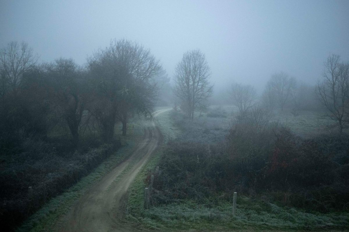
Madrid, Jan 31 (EFE).- The State Meteorological Agency, Aemet, forecasts widespread frost for this Tuesday in much of the interior of the peninsula and Mallorca, and strong winds in the Ampurdán, Menorca and the Strait.
The sky will be cloudy in the eastern Cantabrian Sea, with probable weak rainfall. Cloudy intervals are expected in other areas of the extreme north of the peninsula, the northern plateau, the Strait area and Menorca.
Slightly cloudy or clear in the rest of the Peninsula and the Balearic Islands. In the Canary Islands, cloudy intervals, more abundant on the higher relief islands, where some generally weak showers are likely.
Temperatures will tend to rise in most of the Peninsula and the Balearic Islands. The frosts will lose intensity, although they will continue to be extensive in the interior of the peninsula and Mallorca, except for the Ebro valley and the southwest of the peninsula.
The wind will blow from the north in the northern half of the peninsula and the Balearic Islands, with strong intervals in Ampurdán and Menorca. Intervals of strong wind from Levante in the Strait at dawn, easing during the day. Variable weakness in the rest of the Peninsula. In the Canary Islands, moderate trade wind from the northeast direction.
PREDICTION BY AUTONOMOUS COMMUNITIES
– GALICIA: slightly cloudy or clear with intervals of low clouds in the morning in the interior of Lugo and Rías Baixas. Mist and probable fog banks are expected in the Estaca de Bares area, which at the end of the day will spread to the rest of the north coast. Minimum temperatures will rise in the southeast quadrant, and will drop slightly in La Mariña. The highs will not change or go up slightly. There will be widespread light frosts inland. The wind will blow lightly from the east and northeast, and from a variable direction in the southeast, with more intense intervals on the north coast.
– ASTURIAS: slightly cloudy or clear with intervals of low clouds in the interior of the western third with mists and probability of associated morning fog banks, which will increase from north to south to cloudy skies starting in the afternoon. The minimum temperatures will rise in the Cordillera and will remain unchanged or in a slight decrease in the rest. The maximums will increase, which will be slight, or they will remain unchanged in the southern third. There will be widespread frosts in the interior, more intense at high levels of the Cordillera. The wind will blow variable loose.
– CANTABRIA: cloudy or covered with large clearings in the southwest in the morning, without ruling out some light and scattered rain in the eastern third at the end of the day. There will be mists and probable fog banks in summits, at the beginning of the east and at the end of the day of the west, of the Cordillera. The lows will remain unchanged or drop slightly, and the highs will rise slightly. Weak widespread frosts are expected, which will be more intense in mountainous areas. The wind will blow variable loose, with a predominance of the northern component in the interior in the afternoon.
– BASQUE COUNTRY: cloudy sky with light rains in the afternoon, which will be scattered and unlikely in the south of Álava. There will be mists and fog banks late in the day in the easternmost interior. Temperatures will rise slightly, and the lows in the west will remain unchanged. The wind will blow lightly from the northwest and north, although variable in the morning in the northern half and with more intense intervals on the coast at night.
– CASTILLA Y LEÓN: slightly cloudy, with intervals of low clouds in the northeast that will extend to the rest of the community throughout the day. Some scattered weak rainfall in the extreme northeast in the last hours is not ruled out. The snow level will be around 1,200/1,300 meters. Probability of mists and mists in mountain areas, occasionally freezing. Temperatures will remain little changed or rise slightly. There will be widespread frosts, which will be more intense in high mountain areas. The wind will blow variable in the northwest and southeast, and northeast in the rest, more intense in the east and weak in the rest of the region.
– NAVARRE: cloudy sky in the western and northern thirds, and cloudy intervals in the rest. At the end of the day, mists and fog banks are expected, as well as probable light rains on the Cantabrian slope and in the Aralar and Urbasa mountains. The temperatures will rise. The wind will blow from the north and northwest, being weak in the western third and more intense in the rest of the foral community.
– LA RIOJA: sky covered with low clouds, without ruling out some scattered light precipitation in La Rioja Alta at the end of the day. Probability of fog and mist, which in Iberia may occasionally be freezing. The temperatures will be on the rise, which will be slight in the case of the maximum. Frosts are expected in the mountains. The wind will blow from north and northwest directions.
– ARAGÓN: slightly cloudy or clear sky, with some intervals of low clouds in the north of Iberia. In the south of Huesca in the morning, some freezing fog bank is not ruled out. The temperatures will rise. There will be frosts in large areas, except in the Ebro valley, where the wind will blow moderately from the northwest; In the rest it will blow variable loose with a predominance of the northwest direction.
– CATALONIA: little cloudy or clear skies, with some intervals of low clouds on the northern slopes of the Pyrenees. In the north of the central depression, morning low clouds are expected with probable freezing fog banks. Temperatures will rise. There will be frost inside. In the southern third and in Ampurdán the wind will blow moderately from a northwesterly direction, with strong intervals in the extreme north of Ampurdán. In the rest of the region it will blow loose variable.
– EXTREMADURA: little cloudy or clear skies. Minimum temperatures with slight changes and maximum temperatures with a slight rise. There will be fairly widespread weak frosts in mountainous areas of the northeast and east of Cáceres, and they will be more likely in low areas or valleys. The wind will blow lightly from the northeast or variable direction.
– COMMUNITY OF MADRID: slightly cloudy or clear skies, with some low clouds and the possibility of some mist or scattered fog in the Tagus valley at dawn and in high areas of the mountains at the end of the day. The minimums will rise in the mountains and will remain with few changes in the rest. The maximums will increase, which will be more pronounced in the mountains. There will be widespread weak frosts, with minimums that will be below -4 degrees in the eastern and southern valleys of the community. The wind will blow variable loose.
– CASTILLA-LA MANCHA: little cloudy or clear skies, except for some scattered low clouds in the morning in the Tagus valley and at the end of the day in the Iberian system that may be accompanied by some occasional mist or fog. Minimum temperatures increasing in the Central and Iberian systems and in the Montes de Toledo and with slight changes in the rest. Rising maximum temperatures. Widespread frost, with temperatures below -4 degrees in La Mancha and the Alcarria, and -6 in very high areas of Iberia. Variable light wind with a predominance of the northern component in the northeast of the autonomous community.
– VALENCIAN COMMUNITY: clear sky. The temperatures will rise. There will be frost inside. The wind will blow variable light in general; and from weak to moderate in a northwesterly direction in the northern interior of Castellón.
– REGION OF MURCIA: little cloudy or clear skies. Minimum temperatures will remain unchanged, leaving frost inside. The highs will rise. The wind will blow variable loose, with intervals from the southwest on the coast.
– BALEARIC ISLANDS: little cloudy or clear sky. Nighttime temperatures will drop, leaving weak frosts in Mallorca and Ibiza. The daytime ones will remain unchanged or in slight ascent. The wind will blow from the northwest in Menorca and loose from the west component in the rest of the archipelago.
– ANDALUSIA: little cloudy or clear skies. Cloudy skies are expected in the area of the Strait and on the westernmost Mediterranean coast. Weak precipitations in general are not ruled out, which will be more likely during the early morning, opening clear in the afternoon. Minimum temperatures will remain unchanged, leaving frost inside. The maximums will go up. East wind on the Mediterranean coast, which will decrease to light. In the rest it will blow from the northeast direction, being weak in the interior. Strong lift in the Strait, decreasing in the afternoon.
– CANARY ISLANDS: cloudy intervals in Lanzarote and Fuerteventura, where it will tend to a slightly cloudy sky at the end of the day. In the rest of the islands it will be cloudy in general, with the opening of occasional clearings. Probability of weak and scattered precipitation, mainly on the north slope during the first half of the day and on south-facing slopes during the afternoon. The temperatures will remain with few changes, with probable weak frosts in the summits of La Palma and Tenerife. The wind will blow moderate to light from the northeast direction.


