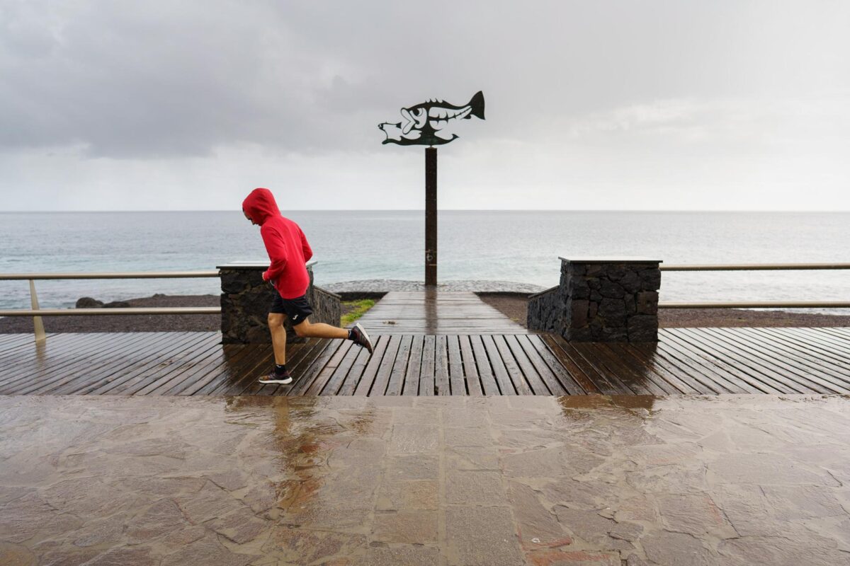
Santa Cruz de Tenerife (EFE).- The State Meteorological Agency predicts that from Tuesday, June 6, an “extensive storm”, baptized as ‘Óscar’, which is currently located southwest of the Azores, will leave the Canary Islands intense rains and winds, mainly in the western islands.
Widespread, persistent and locally strong or very strong rains are forecast, as of early Tuesday morning, although less intense and frequent on the easternmost islands, with the probability that they will be accompanied by storms.
The interaction of the southwest wind with the orography of the islands will enhance the rainfall mainly on the islands with the highest relief.
In addition, strong winds are expected in the western and frontal islands, with very strong generalized gusts of 70 km/h and more localized gusts of 90 km/h.
The ‘Óscar’ storm, which is actually successive small lows in subtropical latitudes within the great storm, with its associated fronts and high moisture content, moved northward on Tuesday, remaining on the peninsula and the Balearic Islands for several days, possibly even the weekend.
In any case, Aemet points out, its effects will be more limited than in the Canary Islands and will consist mainly of fairly widespread rains, starting on Wednesday, less likely and intense in the Mediterranean area.
The Aemet indicates that it is “very likely” that on Thursday, with the removal of ‘Óscar’ and its associated fronts from the Canary Islands, this period of rain and intense winds in the archipelago will end.


