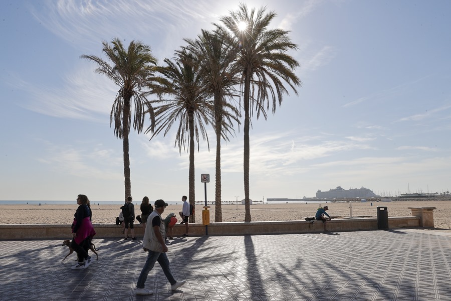
Madrid (EFE) of heat, with maximums between 30-35 degrees, more typical of the month of July.
They will be “values more typical of the second half of June and even July than of the end of April”, stated Rubén Del Campo, spokesperson for Aemet, who details that due to “their intensity and the time of year” we can say that they are It is about a “very unusual warm episode”.
In this way, next week the average temperature, that is, the average between daytime and nighttime records will be between 6 and 10 degrees above normal in most of Spain, Del Campo has stressed.
In many areas of the northeast, center and south of the peninsula, with greater intensity during the second half of the week, temperatures will exceed 30 degrees and even 35 degrees in the Tagus, Guadiana and Guadalquivir valleys, although “the most anomalous situation will include from Tuesday to at least Thursday or Friday.
If these forecasts are confirmed, “we could be facing one of the most intense warm episodes recorded in the month of April in Spain since there are records,” Del Campo observed.
A front enters through the Atlantic and will cross the Peninsula
With respect to this Friday, the rainy front will not leave significant accumulations, and “in the best of cases” only between 5 and 10 liters per square meter will be collected, the spokesman assured, noting that as of this weekend only Rain is forecast until the end of the month.
Specifically, this Friday it will rain in Galicia, Asturias, eastern Castilla y León and northern Extremadura, while in the rest of the interior of the country the clouds will increase with the possibility of scattered stormy showers in the afternoon that, with respect to temperatures, will forecast warm for the time of year.
On Saturday the Atlantic front will finish crossing the Peninsula and in its wake it will leave stormy showers, locally strong in the north of Navarra and above all, in the surroundings of the Aragonese and Catalan Pyrenees.
In the rest of Spain, there will be some scattered showers during the first half of the day, with a tendency to be slightly cloudy, and with temperatures that will drop significantly that day to reach normal values for the month of April with maximums between 23-25 degrees. something else in the south.
As of Sunday, high pressure will dominate almost all of Spain, although there may still be some rain in the far north and in mountainous areas of the rest of the peninsula, with a cool atmosphere at dawn, although the maximum will begin to rise continuously that day the next days.
The heat arrives on Monday
On Monday the maximum temperature of 25 degrees will be exceeded in large areas of the center, south and east, and even 30 or 32 degrees in the Guadiana and Guadalquivir valleys and by Tuesday, cities like Córdoba or Seville will be around 34 or 35 degrees and more than 30 degrees in large areas of the center and south of the country.
“On Wednesday the temperatures will rise a little more” especially in the north with 30 degrees in the south of Galicia, the northern plateau and the Ebro basin and more than 32 degrees in the southern plateau and around 34-35 degrees in the valleys of the Guadiana and Guadalquivir.
Del Campo has predicted that if these predictions are confirmed, the daytime on Wednesday will be typical of the beginning of July, “midsummer values” and that they could continue through Thursday and Friday, with similar or even higher records on Thursday.
Regarding the rains, during the first half of the week they will be “very scarce”, delimited to the extreme north, so it is increasingly likely that the month of April will end as the driest in the historical series (1961), has the spokesman concluded.