Madrid (EFE) , where the thermometers will once again exceed 30 degrees.
As of this Friday, “temperatures are beginning to rise,” explained Rubén Del Campo, spokesperson for Aemet, who, however, highlighted for today the strong winds in the northeast and on the northern plateau, as well as maritime storms with strong waves in the Cantabrian.
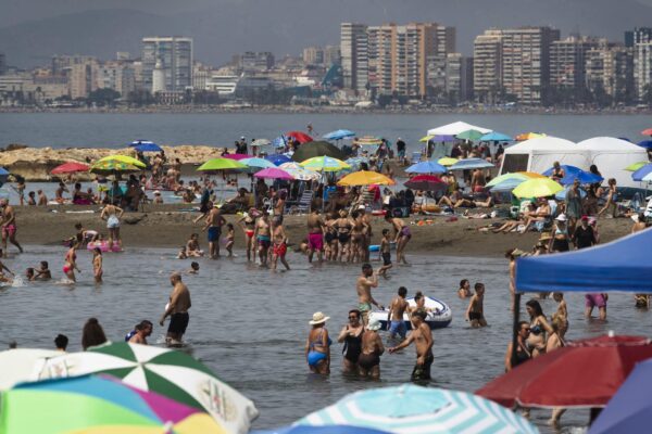
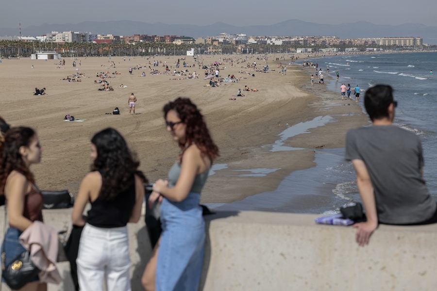
Regarding temperatures, this Friday Malaga will register the maximum with 30 degrees, followed by Seville with 28 degrees, Valencia with 25 degrees and Madrid with 21 degrees; the coolest day will be in Ávila, the thermometers will not exceed 15 degrees, and the coldest night will be in Teruel, with a minimum of just 0 degrees.
On Saturday the rainfall will be limited to the Cantabrian communities and the Pyrenees, where it could snow above about 1,300 meters in the Pyrenees, as well as strong winds in large areas of the north and east of the peninsula.

This day the temperatures will drop in the north, where it will be a cool day with, for example, 12-13 degrees maximum in Pamplona and Vitoria, but in the rest of the country the values will continue to rise and Barcelona will reach 23 degrees maximum. Madrid at 25 degrees and Córdoba and Seville may exceed 30 degrees.
Sunday steady weather
On Sunday, stable weather is expected with hardly any rain, except in the Bay of Biscay and points in the Pyrenees, but the most significant thing will once again be the rise in temperatures: “This day we can already talk about a warm day for the season in the west of the peninsula , with values of up to 32 degrees in Seville and Badajoz.”
For next week, the anticyclone will dominate most of Spain, Del Campo has advanced, emphasizing that it will be “a week warmer than normal, with average temperatures between 3 and 6 degrees above the usual average for these dates , and only the Mediterranean area and the Balearic Islands will have their own values for the period”.
As for rainfall, it will continue to be “scarce in practically the entire country” with almost clear skies in most of Spain, although with clouds of daytime evolution that could leave some showers in the northeast of the peninsula, the Balearic Islands and the Catalan Pyrenees.

During Monday and Tuesday the temperatures will not experience major changes, except for somewhat cold early mornings and even with some weak frost on the northern plateau and in the central páramos, but during the central hours of the day the environment will be once again mild and, above all, warm in the west where Badajoz, Córdoba or Seville will again exceed 30 degrees.
As of Wednesday, the stable weather will most likely continue, although as of Friday it could rain in Galicia and the Cantabrian Communities, without ruling out that these rains, in a weak and dispersed manner, spread to the northern half.
Del Campo has announced that for the following week, April 24-30, “the warmer environment than normal for the season will continue”, especially in the center and west of the peninsula, where temperatures will continue between 3 and 6 degrees. above normal average; Regarding rainfall, there is no clear trend.
The long-term predictions for the months of May, June and July point to the persistence of warmer than normal weather in Spain, with a probability of 50-70 percent, compared to a 10-20 probability that it is a quarter colder than normal.
At this point, the spokesman has detailed that in Spain, after the month of May, rainfall is usually, as a general rule, scarce: “Strong storms can occur in some areas, even accompanied by hail, but they are not usually widespread or persistent episodes that help to alleviate a situation of meteorological drought that we are dragging.”