Santa Cruz de Tenerife, (EFE) Canary.
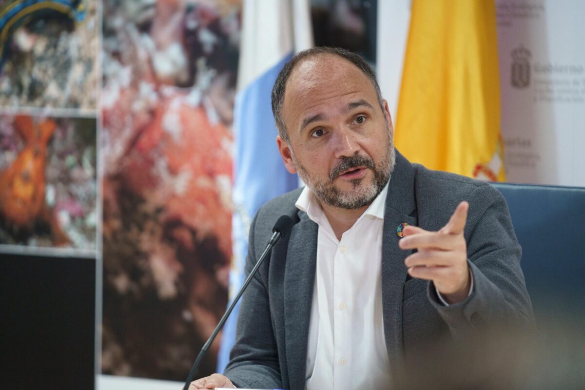
An atlas whose first objective, the counselor has indicated, is to somehow begin to locate the data in a single visual environment, both on how the climatic variables have changed (temperature, rainfall, humidity and air at the moment), as well as the projections climatic.
More data will be included in future reviews, commented José Antonio Valbuena, who pointed out that the Interactive Digital Climate Atlas is available on the Ministry’s website, and is hosted at the domain http://www.atlasclimatico.sitcan.es.
The presentation ceremony was attended by professors Pablo Mayer and Ángel Luque, from the Department of Geography of the University of Las Palmas de Gran Canaria, the first of whom recalled that in the westernmost islands there is a greater presence of temperate climates, while in the eastern ones the dry and steppe ones predominate.
Pablo Mayer explained that the maps have been prepared with precipitation data from the last 30 years, which is what the World Meteorological Organization requires as a minimum, and temperatures from the period 1990-2022.
With this atlas, the counselor José Antonio Valbuena has stated, an “outpost” of observed data and climatic trends is located in a single environment, and the purpose is that it be used, above all, by scientific communities, but it is open to all the society.
The climate atlas website uses the technical development of the Canary Islands Information System (Sitcan) of the public company Cartográfica de Canarias (Grafcan). EFE