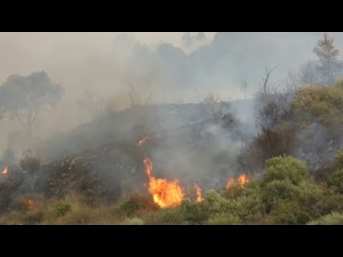
Madrid (EFE).- With many towns celebrating Carnival this weekend, the weather forecast is that it will be spring with temperatures above normal and a DANA that will bring warm air loaded with suspended dust from Africa to the Peninsula that It will cause haze and ocher skies, but ruling out torrential rains.
Suspended dust is a naturally occurring pollutant that worsens air quality and “it is recommended” to avoid intense outdoor exercise with very high concentrations, warned the spokesman for the State Meteorological Agency (Aemet), Rubén del Campo.
This Friday the south of Andalusia is under an orange weather alert, due to gusts of wind of up to 74 kilometers per hour and maritime storms, with waves of up to 4 meters on the coast.
Occasional and weak rainfall is expected in that area for the next few days, which may be accompanied by mud due to suspended dust, which will also be intense in the autonomous cities of Ceuta and Melilla.

The Isolated Depression at High Levels (DANA), which will extend to large areas of the Peninsula and the Balearic Islands, although with less intensity, “will not be synonymous with torrential rains, because for that other fundamental factors must also occur,” according to the spokesperson. from Aemet.
For example, high atmospheric humidity, which does not occur in this case, but what is being promoted is dry air and therefore the rains will be scarce.
DANA of warm dusty air
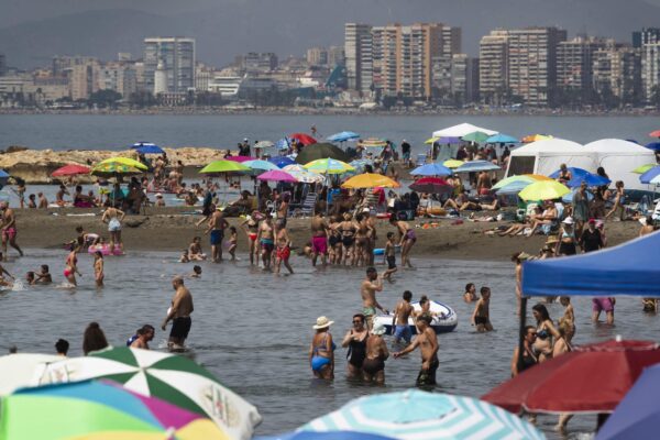
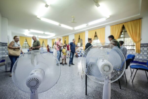
On this occasion, DANA will inject warm air loaded with suspended dust and “the most notable will be the high temperatures for the season, especially from Sunday, as well as haze that will spread from that day to many areas of Spain,” the spokesman has indicated.
Until Tuesday, the weather will be springtime, with temperatures in general progressively rising, especially since Sunday, and especially in central hours of the day, with values above 18 degrees in large areas of the country.
In points of the center and southern half, it may even exceed 20 degrees, as well as on the shores of the Cantabrian Sea, where values will temporarily drop on Sunday to rise again on Monday.
The city of Seville will be around 25 degrees maximum, so “we are talking about high values for the season”, between 5 and 10 degrees higher than normal and temperatures more typical of the second half of April, or even the beginning of May, according to Rubén del Campo.
Nighttime temperatures will also rise, especially from Sunday, which will also be higher than normal for the season and frost will be restricted to mountain areas.

The marked contrast between day and night will remain, however, in the northern half and central area. Cities like Teruel or Soria may register a difference of 20 degrees or more between maximum and minimum temperatures.
The suspended dust, already appreciable since this Friday in Ceuta and Melilla and in the south of Andalusia, is being driven by winds that are generating Levante storms and that will blow strongly in the Strait and on the Andalusian Mediterranean coast.
The haze in these areas will leave “a sky with a cloudy, ocher appearance, with a decrease in visibility,” according to the Aemet spokesman.
“The dust particles that make up the haze are very small; they come from the desert to our latitudes and remain in suspension precisely because of their small size”, recalled Rubén del Campo.
“They are particles that in many cases do not reach 10 microns, that is, their diameter is less than that of a very fine human hair, so they are capable of penetrating our respiratory tract and entering the bloodstream, which can mean a health risk,” he added.