Madrid, Feb 3 (EFE) of the Canary Islands and Mallorca.
The Aemet foresees a rise in maximum temperatures in the southeast of the peninsula and in the Balearic Islands, although in the extreme north of the peninsula the trend will be downward.
The sky will be slightly cloudy or clear in the Peninsula and in the Balearic Islands, although at first there will be some cloudy intervals in the area of the Strait and Melilla and, as the day progresses, the cloudiness will increase in the Cantabrian area, the surroundings of the upper Ebro and the northeast of the northern plateau, with some possible weak and scattered precipitation in the eastern Cantabrian.
In the interior of Galicia, the Duero valley, the upper Ebro and the northeastern depressions can also form morning mists.
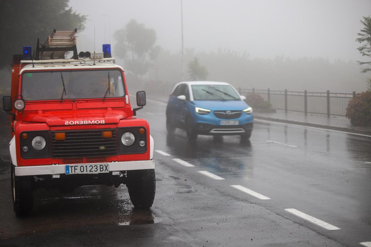
In the Canary Islands, an increase in cloudiness and possible scattered showers are expected, which may occasionally be of a certain intensity on La Palma, haze on the eastern islands and a snow level of around 1,800 meters.
The wind will blow with the northern component in the northern third of the peninsula, the Balearic Islands and the Canary Islands, and will have strong intervals in Ampurdán and on the Galician coast. In the Strait, moderate easterly wind, and in the rest, weak with a predominance of the northeast direction.
PREDICTION BY AUTONOMOUS COMMUNITIES
-GALICIA: slightly cloudy or clear with intervals of low clouds in the early and late hours in flat areas of Lugo and in the rest of the far north that will be accompanied by associated mists and mists in the interior. Minimum temperatures that rise in high areas of the southern interior and remain with little change in the rest. Maximum temperatures unchanged in the northern third and a slight increase in the rest. Scattered light frosts in the eastern interior. Light east and northeast wind, which will intensify first in Estaca de Bares and progressively in the rest of the north coast, where strong intervals are expected from the end of the afternoon between Ortegal and Fisterra. On the Atlantic coast the wind will have a northerly component and in the interior it will have a variable direction.
-ASTURIAS: clear with intervals of low clouds since late afternoon in the mountains and on the coast with associated nocturnal mists and mists in the interior. Minimum rising temperatures that will be light or unchanged on the coast. Maximum temperatures without significant changes. Scattered light frosts inland. Variable light wind in the interior and more intense eastern component on the coast.
-CANTABRIA: slightly cloudy with intervals of low clouds on the eastern coast that extend to the entire community at the end of the afternoon, leaving the skies overcast. Morning mists or mists are not ruled out in the eastern end and evening mists in the Cordillera. Minimum temperatures without significant changes, except for an increase in the Ebro and decreasing maximum temperatures in the interior. Weak frosts in the southern third. On the coast, an easterly wind that will be weak in the eastern half. Inside, light wind with a predominance of the north component.
-BASQUE COUNTRY: intervals of low clouds that will increase to cloudy or overcast at the end of the afternoon without ruling out some weak and scattered rain in Guipúzcoa at the end. Morning and evening mists and fog banks, especially in the southeastern quadrant. Minimum temperatures without significant changes and maximum temperatures in a slight decrease in the south and with few changes on the coast. Faint frost on the inside. Light wind from the east component on the coast and variable in the interior, which will tend to the north component from noon.
-CASTILLA Y LEÓN: clear skies, with intervals of low clouds in the early hours in the extreme northeast. Towards the end of the day, abundant low clouds will form in the northeast quadrant, with possible fog and mist in the area. In low-level mountain points, the mists may be freezing. Temperatures in slight rise, except for the maximum in the northeast that will experience a decrease. Widespread frosts. Light northeast wind.
-NAVARRA: little cloudy sky with cloudy intervals in the western third increasing from the afternoon to cloudy or covered from north to south. Morning and night mists and mists in the western third, and at night also in the Pyrenees. Minimum temperatures without significant changes and maximum temperatures in decline that will be light on the Cantabrian slope and on the Ribera del Ebro. Wind from the northwest and north, somewhat weaker at dawn and more intense intervals on the Ribera.
-LA RIOJA: slightly cloudy or clear, with some cloudy intervals in the Rioja Alta in the early hours. Towards the end of the day, low cloudiness will be abundant and will extend to the entire region, forming mists and mists. In points of low altitudes of the Iberian Mountains, the mists could be freezing. Minimum temperatures without changes or in slight ascent and maximum in descent. Scattered weak frosts. North and northwest wind.
-ARAGÓN: little cloudy or clear sky. Intervals of low morning clouds in the southeast of Huesca, without ruling out some freezing mist. Temperatures unchanged or slightly rising. Widespread frosts, except in low areas of the Ebro depression, which may be locally strong in the valley bottoms of the Iberian system or the Pyrenees. In the Ebro valley, moderate northwest wind; in the rest, variable light wind, with intervals of moderate north at high levels of the Pyrenees.
-CATALONIA: little cloudy or clear skies. Intervals of low morning clouds points of the central depression, without ruling out some freezing mist in the south of Lleida. Temperatures unchanged or slightly rising, except for rising maximums in the northeast. Frosts in the interior, which may be locally strong in the northern third, especially in the depths of the Pyrenees valley. In the Ampurdán moderate north wind with strong intervals, and with very strong gusts in the extreme north in the afternoon; in Tarragona, moderate northwesterly wind, occasionally strong in the last hours; in the rest, variable weak, with intervals of moderate north in high levels of the Pyrenees.
-EXTREMADURA: little cloudy or clear skies. Temperatures unchanged or slightly rising. Weak and scattered frosts; they will be more likely in the Guadiana valley and the Barros and Serena area. Wind with a predominance of the north and northeast, loose.
-COMMUNITY OF MADRID: clear. Temperatures unchanged or slightly rising. Widespread weak frosts, except in the Sierra, where they will be scattered. Light wind from variable direction.
-CASTILLA-LA MANCHA: clear. Temperatures without changes or on a slight rise, more pronounced in the highs of the southeast. Generalized weak frosts, which will be more dispersed in the western half and more intense in points of Iberia. Loose wind with a predominance of the north component.
-VALENCIA COMMUNITY: slightly cloudy. Minimum temperatures without changes or in slight ascent; rising highs. Frost inside. On the coast of Alicante, moderate southwest wind; in the northern interior of Castellón, a light to moderate northwest wind; in the rest, variable light wind.
-REGION OF MURCIA: clear sky. Minimum temperatures decreasing in the Altiplano and unchanged in the rest, with weak frosts in inland areas, more intense in the Altiplano; rising highs. Variable light wind, which will increase to the southwest on the coast.
-BALEARIC ISLANDS: slightly cloudy. Nocturnal temperatures without changes or in decline and daytime temperatures without changes or in slight rise. Local weak frosts in Mallorca and without ruling them out in Ibiza. West component wind.
-ANDALUSIA: clear sky. On the Mediterranean coast, intervals of low morning clouds are expected, with a small probability of light precipitation in the Strait area. Temperatures unchanged or slightly rising, with weak frosts in inland areas, more intense in the Campiña de Córdoba and inland Granada. Variable light winds, with a predominance of the eastern component. Lift occasionally strong in the Strait.
-CANARY ISLANDS: on the islands with greater relief, cloudy intervals in the north and a predominance of slightly cloudy skies in the rest of the slopes, although it will tend to be cloudy in all areas from midday. In Lanzarote and Fuerteventura, little cloudy although with ascending cloudiness during the afternoon. Scattered and occasional showers are not ruled out, which may be locally strong, especially in the east of La Palma at dawn and in Lanzarote in central hours of the day; the snow level will be around 1,900 – 2,000 meters. Light haze in the eastern half. Temperatures with few changes or a slight decrease. Weak frosts are expected on high peaks. Northeasterly wind, generally light, with an easterly component on the easternmost islands.


